
Project Insights: Pietrarsa - Naples, IT

Survey in Pietrarsa, Naples - IT
Client: FADEP srl
Location: Pietrarsa, Italy
Coordinates
Latitude: 442764.03 m E
Longitude: 4519126.39 m N
Introduction
The Pietrarsa Railway Museum, located between Naples and Portici, Italy, is a historic site that holds a significant place in the history of Italian railways. This museum, originally founded as the Bourbon workshops by Ferdinand II in 1840, was pivotal in the industrial development of Italy. The museum showcases a rich collection of locomotives, carriages, and railway memorabilia, spanning over 36,000 square meters with breathtaking views of the Gulf of Naples and Mount Vesuvius.

Geological and Volcanological Overview of Naples and Campi Flegrei
Naples and the surrounding Campi Flegrei area are renowned for their complex geological and volcanological characteristics. The Campi Flegrei, or Phlegraean Fields, is a large caldera located to the west of Naples, forming part of the Campanian volcanic arc which includes Mount Vesuvius. This area is one of the most active and hazardous volcanic regions in the world.
Client Request
FADEP srl commissioned a comprehensive geophysical and geological survey to support the structural analysis and restoration planning of the Pietrarsa Railway Museum. The key objectives were to facilitate the closure of a level crossing at km 5+839 and the construction of a new access road connecting the museum's rear square to Via Pietrarsa, east of the Naples-Salerno railway line.


1. Data Acquisition
Methods:
Electrical Resistivity Tomography (ERT): 8 2D spreads and 3 3D spreads for detailed electro-stratigraphic characterization.
Seismic Refraction Tomography (SRT): 6 2D spreads to delineate seismo-stratigraphic layers.
Ground Penetrating Radar (GPR): 120 profiles across 4 areas for comprehensive utility detection and mapping.
Bathymetric Survey: Single Beam Echo Sounder (SBES) for Digital Terrain Model (DTM) creation and sub-bottom profiling (SBP) for seabed stratigraphy.
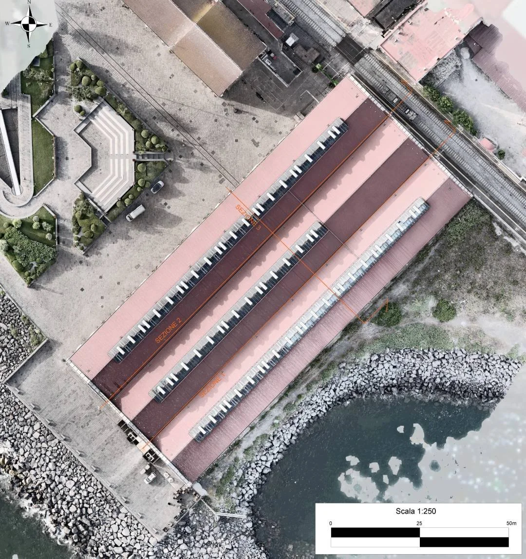
Laser Scanning: Detailed scans of the museum pavilion to support structural analysis.


2. Data Processing
Techniques:
ERT and SRT Data: Created detailed resistivity and seismic velocity profiles to identify subsurface structures.
GPR Data: Mapped subsurface utilities and detected a tunnel beneath the railway tracks.
Bathymetric Data: Generated bathymetric charts and 3D models of the seabed, showing the configuration of underwater structures.
Laser Scanning Data: Combined with photogrammetry to produce an accurate 3D model of the museum structure.
3. Data Interpretation
Findings:
Electro-stratigraphic Layers:
A1: High resistivity and moderate seismic velocity, representing roadbed and concrete slabs.
A2: Mixed resistivity and moderate seismic velocity, indicating fill material.
B: Variable resistivity and seismic velocity, representing silty sands.
C: High resistivity and seismic velocity, indicative of lithoid tuff.
Subsurface Heterogeneity: Zones with varying resistivity and seismic velocities, indicating different lithological compositions and material properties.
Utility Mapping: Detailed location of subsurface utilities and a tunnel beneath the tracks.
Final 3D model of the analysis conducted in the MUSEUM area survived.
Within the electro-stratigraphic and seismo-stratigraphic layers A, B, C, and D, zones with varying electrical resistivity and seismic velocity indicate heterogeneity in lithotypes (e.g., fine/coarse material, saturated/dry, porous/compact) relative to the average resistivity of each layer. The 3D model of the surveyed area and three projections are included in Annex 04.
Original Document Characteristics:
High precision in measurements, ensuring congruity with the actual state.
Capability to extract geometric data post-survey.
Data integrity maintained due to the vast number of data points and their topological organization.
The bathymetric survey generated the bathymetric chart, superficial substrate thickness map, acoustic substrate thickness map, and a 3D model of the seabed, detailed in Annex 02. These maps allowed precise evaluation of the rocks' bases forming the breakwaters and the thickness of loose sediments.
GPR surveys identified major utility networks in the specified area (Area 3) and a tunnel (or conduit) crossing under the tracks, also detected beneath the opposite sidewalk (museum side). The GPR survey results are detailed in Annex 05, with radargrams in Appendix A.
Results interpretation revealed the thickness of anthropogenic fill materials forming the pavilion's foundation, highlighting the widespread heterogeneity of the fill and/or reworked materials.
4. Final Report and Conclusion
Summary: The comprehensive geophysical and geological survey at Pietrarsa Railway Museum provided essential data for structural analysis and restoration planning. The integration of ERT, SRT, GPR, bathymetric surveys, and laser scanning resulted in a detailed 3D model of the subsurface and the museum structure.
Conclusion: The findings support the safe closure of the level crossing and the construction of the new access road. The accurate mapping of subsurface conditions ensures the structural integrity and conservation of the historic Pietrarsa Railway Museum.